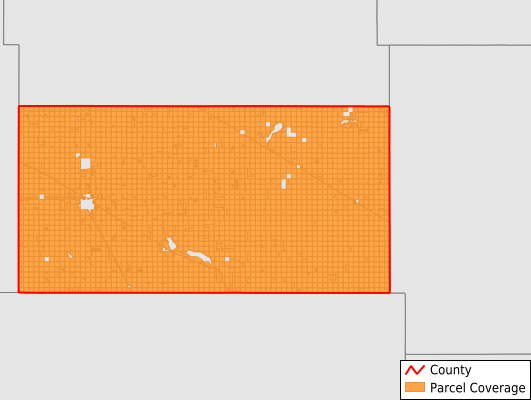
Foster County
Parcel Data
Price: $200.00
Last Updated:
2025-Q3
Parcels in County:
3,479
Parcel data available to download as a GDB, GeoPackage, Shapefile, Excel, CSV, or Google Earth KML file.
All purchased data comes with six months of access, including any updates, at no additional cost.
Key attribute coverage for Foster County
The percentage of Foster County parcels containing the following key attributes:
Owner: 99.4%
Parcel Number: 100%
Acreage (Calculated): 100%
Site Address: 16.7%
Mailing Address: 98.7%
All available attributes in Foster County
Parcel Number
Site Address
Owner
Acreage (deeded)
Acreage (calculated)
Perimeter
Municipality
School District
Zip Code
Flood Zone
Flood Zone Subtype
Census Block Group
Census Block
Total Market Value
Mail Address1
Mail Address3
Legal Desc1
Place Gnis Code
Land Cover
Elevation
Robust Id
Alt Id 1
Plss Description
Plss Township
Plss Range
Plss Section
Crop Cover
Acreage Adjacent With Sameowner
Flood Zones
Nearest Transmission Line Dist Ft
Nearest Substation Dist Ft
Derived Geom Properties
Municipalities Respresented in Foster County
Carrington City: 5
Glenfield City: 0
Grace City City: 1
Mchenry City: 10
Longview Township: 181
Birtsell Township: 191
Bordulac Township: 183
Bucephalia Township: 184
Eastman Township: 151
Estabrook Township: 188
Florance Township: 211
Haven Township: 168
Larrabee Township: 187
Mckinnon Township: 164
Melville Township: 210
Nordmore Township: 182
Rolling Prairie Township: 158
Rose Hill Township: 195
Wyard Township: 211
Carrington Township: 342
Glenfield Township: 183
Mchenry Township: 174
Save money when you buy data in bulk
We offer discounted pricing on county and state downloads.